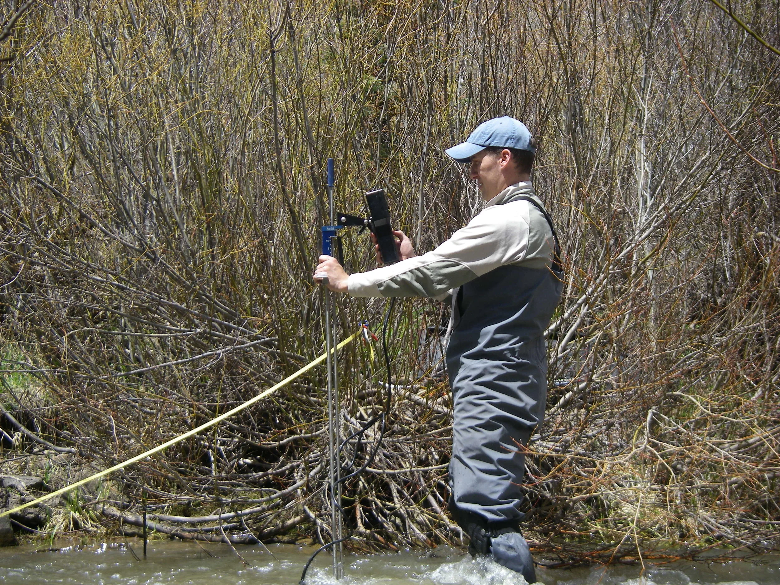
Photo Courtesy Roaring Fork Conservancy
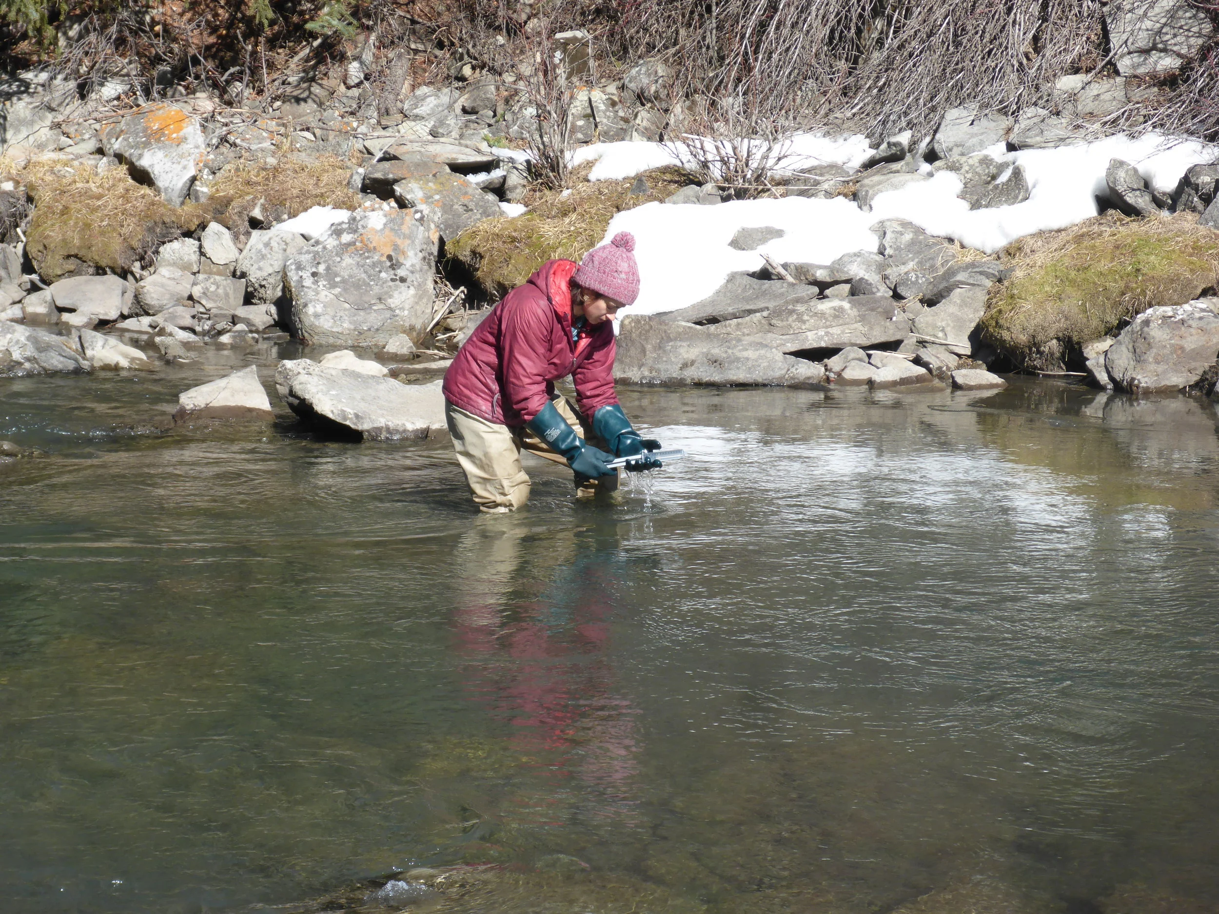
Photo Courtesy Roaring Fork Conservancy
Roaring Fork Conservancy
Lower Crystal River Watershed Flow Assessment 2014
(Healthy Rivers Fund $15,000)
Facing the region’s worst snowpack since 2002 and spurred by “Urgent Action” recommendations made by the multi-jurisdictional 2012 Roaring Fork Watershed Plan, the Roaring Fork Conservancy and its partners held a series of meetings designed to engage with major water rights holders in the Lower Crystal River to develop short- and long-term solutions to the river’s flow, water quality and habitat issues. During the course of these meetings, it became evident that insufficient data existed to answer some of the most basic questions being posed by the public (i.e. how much additional water would the Crystal need to be healthy) and to develop creative, scientifically-sound water conservation solutions compliant with Colorado water law.
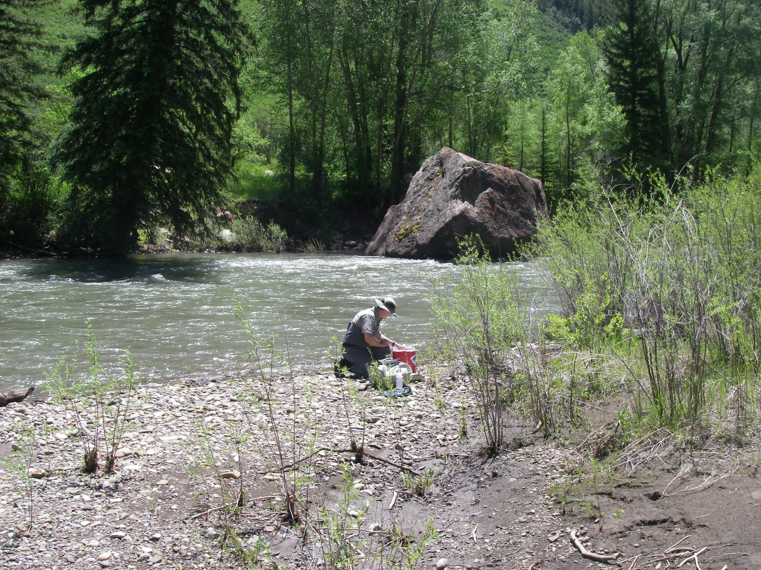
Photo Courtesy Roaring Fork Conservancy
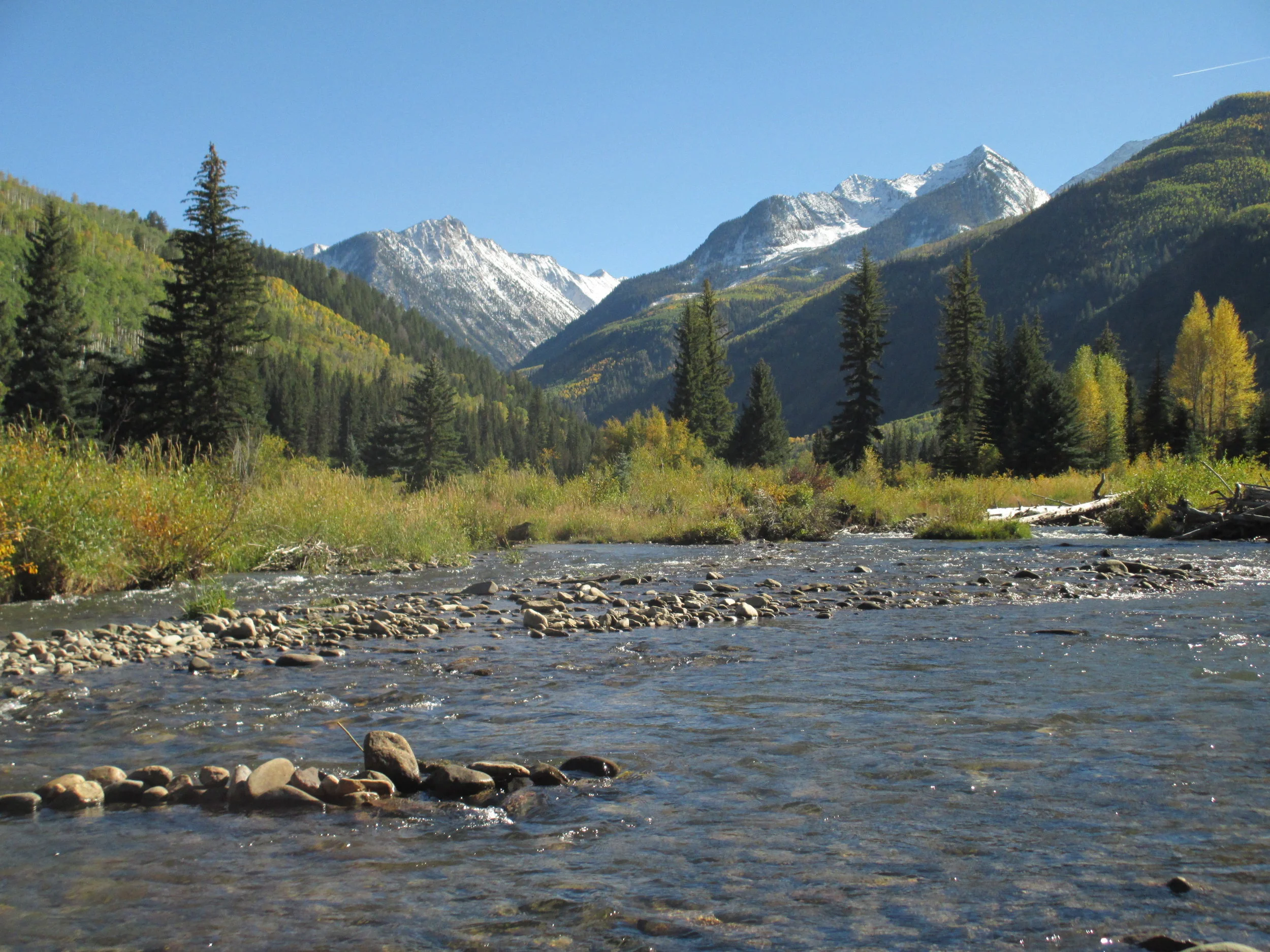
Photo Courtesy Roaring Fork Conservancy
In response, the Roaring Fork Conservancy launched the Lower Crystal River Watershed Flow Assessment. This effort collected, analyzed and disseminated the critical hydrological and biological information necessary to jumpstart river improvement projects, from the Town of Carbondale to irrigators in the valley. A $15,000 grant was awarded in September 2014 and the project was completed June 2014. The final project is the “Water Rights Allocation and Accounting Model Development for the Lower Crystal River”.

Photo Credit - Coal Creek Watershed Coalition and Upper Slate River Steering Committee
Coal Creek Watershed Coalition
Sediment Analysis Upper Slate River 2012
(HRF - $13,500)
The Upper Slate River Watershed is located near Crested Butte in southwestern, Colorado. The watershed drains approximately 34 square miles on the east side of the Ruby Mountain Range, in Gunnison County. The headwaters area of the Upper Slate River watershed is characterized by steep-walled valleys in high alpine and subalpine environments. Aggradation and excess deposition is a common natural phenomenon where steep canyon reaches meet flatter valley floors. Hillslopes in the headwaters areas are very susceptible to mass erosion in the form of landslides, earth flows, debris avalanches, debris flows, torrents, and snow avalanches. These massive, episodic geologic sediment sources needed to be evaluated for human impacts to hillslope processes and sediment contributions.
Grant funding was used to perform the Upper Slate River Geomorphic Assessment to identify and mitigate sediment pollution in the watershed. Funding also covered the cost of two Office of Surface Mining/ AmeriCorps Volunteers in Service to America (OSM/VISTA) members for one year. The OSM/VISTAs assisted the Coal Creek Watershed Coalition in watershed research, water quality monitoring, public outreach and education (i.e. riparian floodplain protection workshops), and community revitalization.
EcoMetrics and AlpineEco performed the Geomorphic Assessment in the summer of 2012 using the Watershed Assessment of River Stability and Sediment Supply methodology developed by Dave Rosgen in 2006. The Assessment was completed in November 2012. Reaches experiencing sedimentation, erosion, and other impairments were classified (high, medium, and low priority) and mitigation measures were recommended. However, the majority of the Upper Slate River watershed was found to be in very good condition. The watershed contains extensive areas of excellent riparian habitat with stable, functioning streams. Significant stream stability and sedimentation impacts are a result of past land uses, mainly gravel mining. Recommendations included protecting as many of the existing functional reaches and adjacent habitats as possible to ensure preservation of stable stream conditions.

Upper Slate River Watershed Map - Photo Credit Coal Creek Watershed Coalition and Upper Slate River Steering Committee